ExpertGPS is a tool designed for anyone who uses GPS devices in their outdoor or professional activities, such as hikers, hunters or surveyors. This program allows users to plan routes, view detailed maps, transfer data between GPS devices and their PC and efficiently analyze geospatial information. Its compatibility with a wide range of GPS devices makes it a versatile solution for both amateurs and professionals requiring precise control over their geospatial data.
Route planning and tracking of outdoor activities
One of ExpertGPS's key features is its ability to plan and view routes on detailed maps before embarking on an outdoor activity. You can mark reference points, create custom routes and visualize alternative paths based on integrated topographic and aerial maps. This is particularly useful for hikers, cyclists and hunters who need to plan routes in unfamiliar or difficult terrain. What's more, the software allows you to review the route once completed, so you can transfer data back from the GPS device to your PC, facilitating further analysis of the routes and allowing you to identify areas for improvement on future expeditions.
Detailed topographic and aerial maps
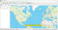
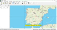
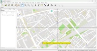
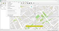
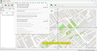
One of ExpertGPS's most powerful features is its access to detailed topographic and aerial maps. Thanks to its advanced features you can see your routes on topographic maps to get a better idea of the terrain you will encounter or switch to aerial images to get a clearer view of the area from above. These maps can also be combined with custom layers, providing a wealth of accurate geospatial information to aid in your planning and decision making. This is especially useful for professionals like geologists, surveyors and other specialists who need to visualize the terrain and its geographic features in a high level of detail.
Edit and customize geospatial data
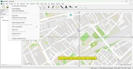
ExpertGPS also allows advanced editing and customization of geospatial data. Waypoints, routes and tracks can be manually adjusted within the software, helping you to refine your data according to your project or your activity's specific needs. You can also change the names of the marked points, add descriptions and sort the data into categories. This is extremely useful to stay organized when working with large volumes of data or when an additional level of detail is needed for further analysis.





Comments
There are no opinions about ExpertGPS yet. Be the first! Comment